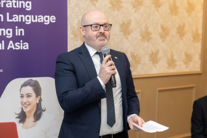
On April 27, Shavkat Mirziyoyev chaired a meeting on the analysis of the work progress and the next tasks in geology, the presidential press service said in a statement.
The meeting reportedly addressed issues of expanding geological exploration and drawing foreign investment in the sector.
Shavkat Mirziyoyev pointed to the need to increase the gold, silver and copper reserves and of 8 types of non-metallic mineral resources by the end of the year.
“To do this, we should continue the process of updating the technical base. For example, through the use of modern equipment, it is possible to increase the drilling depth from 800 meters to 1200, as well as increase productivity by 1.7 times,” the statement said.
In this regard, he instructed to ensure the modernization of 385 units of geophysical, drilling, mining and laboratory equipment this year and set the task to explore 16 promising hydrocarbon sites by the end of the year and affirm the volume of reserves in 23 new fields.
The head of state pointed out the need to implement international standards and noted the importance of training geologists to prepare data as per the JORC standards engaging foreign experts.
Instructions are given on drawing investors to 20 fields ready for development and preparing investment projects for other promising sites.
“Geology plays an important role in finding water for agricultural land. Special equipment for water well construction will be delivered to each district,” he said. He also instructed to drill 70 wells in two months to provide water for 3 thousand hectares of land. This year, the need was stressed for introducing an online monitoring system for water flow in 200 new wells and water level in 400 wells, as well as creating an interactive groundwater map ,the statement added.
The President underscored that the role of fundamental, innovative and applied research is important in the development of geology. In this regard, he gave tasks to conduct geological exploration of 2.5 thousand square kilometers of land from satellite images and 5 thousand square kilometers of the airborne geophysical method by the end of the year.


